A property can look ready for development from the road. It may appear flat, open, and easy to build on. Then a topographic survey begins and new details start to appear. Small elevation changes, drainage paths, slopes, and land features can quickly change how engineers approach a project.
Many property owners and developers focus on land cost, permits, and construction plans early in the process. Those items matter, but engineers often want site information before design work begins. A project built on assumptions can create problems later. Starting with accurate land data helps reduce surprises and keeps projects moving in the right direction.
Why Engineers Request Topographic Surveys Before Design Starts
Engineers request topographic surveys early because land conditions directly affect design decisions. A site plan may look good on paper, but the ground itself tells a different story.
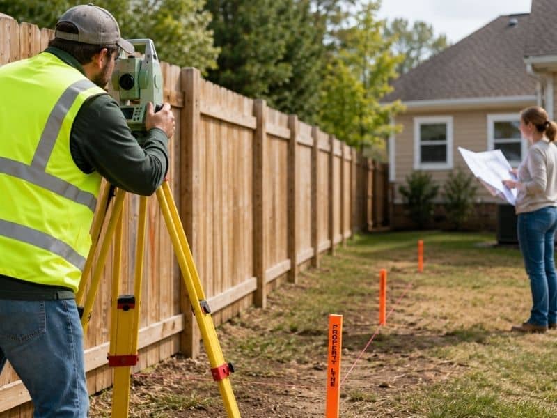
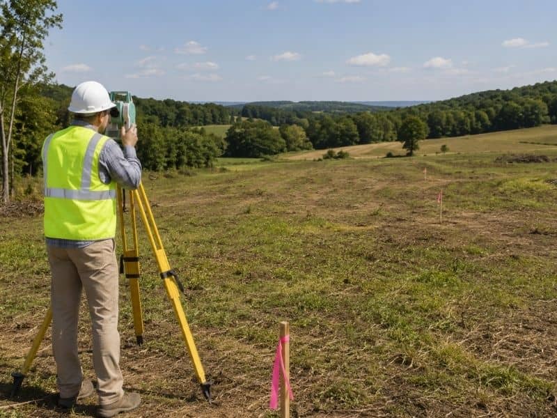
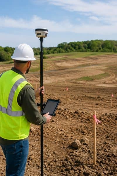
A topographic survey maps the physical features of a property. It records elevation changes and shows details that are difficult to see during a simple walk around the site.
This information may include:
- Elevation changes
- Slopes and terrain
- Drainage patterns
- Existing structures
- Trees and visible site features
- Utility locations when available
- Surface improvements
Engineers use these details to understand what they are working with before creating designs. When site conditions become clear early, planning becomes easier.
Small Elevation Changes Can Create Bigger Problems
Not every issue involves steep hills or dramatic slopes. Sometimes small changes in elevation create large design concerns.
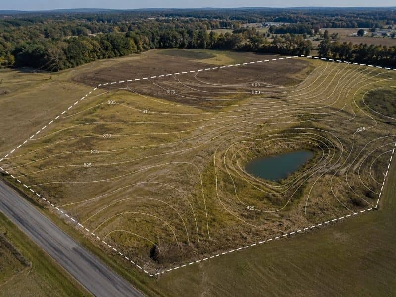
A property may appear mostly level. However, a difference of only a few feet can affect how water moves across a site. It can also change grading requirements and impact future construction plans.
Imagine a developer planning a small commercial project outside Sylacauga. The site appears open and easy to build on. Design work begins based on assumptions. Weeks later, survey data shows a low area where water naturally collects after heavy rain.
Now changes become necessary.
Drainage plans may need revisions. Grading designs may change. Utility placement could shift. Permit review may take longer.
A problem that seemed small early can create larger issues later.
Drainage Problems Often Start with the Land
Water follows elevation. Even slight changes in terrain can affect drainage patterns.
Engineers need to understand where water naturally moves before they design a site. Poor drainage planning can create standing water, erosion concerns, or future maintenance problems.
Survey information helps answer questions such as:
- Where does water collect?
- Which areas sit lower than surrounding land?
- Can water move safely away from structures?
- Will grading improvements be necessary?
Finding these answers early often saves time and money later.
Site Conditions Around Sylacauga Can Create Design Questions
Properties around Sylacauga and nearby parts of Talladega County vary quite a bit. Some parcels sit closer to developed areas. Others involve larger rural tracts that have remained unchanged for years.
Local land conditions sometimes create challenges that are easy to overlook.
Engineers may encounter:
- Wooded properties
- Rolling terrain
- Older tracts of land
- Areas with changing elevations
- Properties affected by drainage concerns
A property can look simple from the road while hiding details that only survey information reveals.
Local conditions often shape design decisions more than people expect.
Waiting Too Long Can Lead to Extra Costs
Some projects begin with sketches and rough layouts before survey work takes place. That may seem faster at first.
The problem appears later.
Picture an engineer creating a site design based on estimated land conditions. Plans move forward and everyone feels confident. Then survey results reveal slopes or elevation changes that affect the original design.
Now revisions begin.
Design adjustments take time. Permit documents may require updates. Contractors may need new instructions. Project schedules can shift.
Changes made later in a project often create more work than problems found during early planning.
That is one reason engineers prefer accurate information before design begins.
Early Information Helps Projects Move Smoother
Good planning starts with reliable information. Engineers are not requesting surveys simply to create extra steps. They want a clear understanding of site conditions before investing time into designs.
A topographic survey helps reduce uncertainty. It allows teams to make decisions using actual property data instead of assumptions.
For property owners and developers, understanding land conditions early can prevent delays and help projects move forward with fewer surprises.
The ground may look simple at first glance. The survey often tells the full story.
Frequently Asked Questions
What does a topographic survey show?
A topographic survey shows elevation changes, slopes, terrain features, drainage patterns, and visible site conditions that may affect development plans.
Why do engineers request topographic surveys early?
Engineers request survey information early because land conditions influence grading, drainage, design layouts, and future construction decisions.
Can land that appears flat still create problems?
Yes. Small elevation changes can create drainage concerns and affect project planning.
Do topographic surveys help before construction starts?
Yes. Survey information helps engineers understand site conditions before preparing designs and permit documents.
Can local site conditions affect development plans?
Yes. Terrain, drainage, vegetation, and existing land features can influence project design and construction decisions.